
Erin Downgraded to Cat-3 Hurricane as it Churns Past Puerto Rico

(Bloomberg) -- Erin barreled through the Atlantic early Sunday, producing heavy winds and rainfall even after being downgraded to a Category 3 hurricane after earlier reaching the top of the five-step, Saffir-Simpson scale.
Erin’s sustained winds were blowing at 125 miles per hour (205 kilometers/hour) as the storm churned 155 miles north of San Juan, Puerto Rico, the US National Hurricane Center said in a statement at 5 a.m. New York time.
Tropical storm warnings are in effect for the Turks and Caicos Islands, and tropical storm watches for the southeast Bahamas.
On its forecast track, Erin is expected to pass to the east of the Turks and Caicos and the southeastern Bahamas tonight and Monday. And while the storm’s sustained winds have lessened, Erin is growing in size, the hurricane center said.
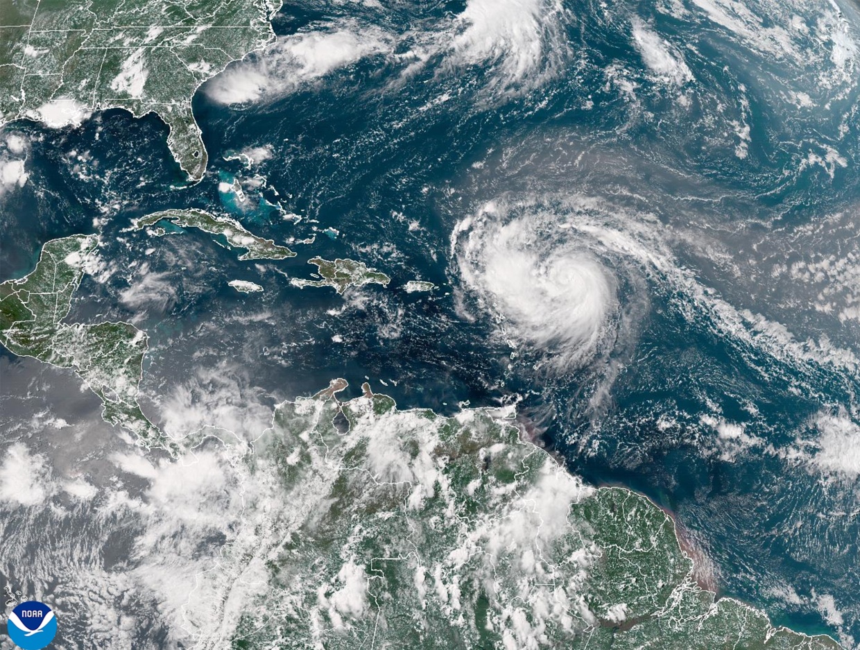
Warm ocean water, the lack of major wind shear and its escape from dry air allowed Erin to rapidly intensify. At 8 a.m. Friday, Erin was a tropical storm with 70 mph winds, and by 8 a.m. Saturday it already reached Category 4 status with winds of 145 mph. The hurricane center issued a special statement at 11:20 a.m. Saturday to say Erin became a “catastrophic” Category 5 with 160 mph winds.
Rapid intensification means a storm’s winds increase by at least 35 mph in a 24-hour period, and can be dangerous because coastal residents and emergency crews may be caught by surprise. There have been numerous examples of storms rapidly intensifying, including Hurricane Milton, which struck Florida in October.
The main impact on the US and Atlantic Canada from Erin is expected to be heavy swells and dangerous rip currents along the east coast during the early and middle portions of the week.
Separately, the NHC has identified a new system east of the Caribbean that has a 20% chance of developing into a cyclone over the next week.
(Updates Erin’s strength, location from first paragraph)
©2025 Bloomberg L.P.


